You check the forecast at the car park: light snow, wind 15 km/h, freezing level below the village. Two hours later you are on a ridge in a whiteout, leaning into gusts that feel like a different day. The forecast was not lying. It was general. Mountains do not experience weather in general. They experience it in gullies, on shoulders, under cap clouds, and on slopes that face the sun or never see it. A forecast for a region is a useful starting point, but it is not a local report. The gap between the two is where good decisions get made—and where a lot of surprises begin.
The Forecast Is a Grid; the Mountain Is a Shape
Forecast models divide the atmosphere into grid boxes. In mountainous regions, those boxes are often wider than a single cirque, ridge line, or valley. The model sees a mountain range; you stand on a spur. It may forecast a temperature for 1,500 metres, but your skin track climbs from 1,200 to 1,900 metres and crosses three aspects. That is not a flaw in the forecast. It is the scale of the question.
Terrain changes what the air does. A ridge forces wind upward; a col squeezes it; a bowl collects cold air. Snowfall can be heavy on one side of a ridge and light on the other. Cloud can sit on a summit while the valley below is clear. If you plan only from the regional forecast, you are planning for an average that does not exist on the ground. The fix is simple: before you leave, translate the forecast to your route. What elevation will you actually be at? Which aspect? Will you cross a col or travel under a steep lee slope? Those details are not extras; they are the local forecast.
A general forecast describes the air mass. The mountain decides where that air mass gets squeezed, lifted, or blocked.
Wind Finds Every Gap
Wind is the fastest way for mountain weather to change its mind. A forecast may give a steady speed and direction for the region, but wind is a fluid moving over obstacles. It accelerates over ridgelines, funnels through cols, and curls into eddies on the lee side. A south-westerly that feels manageable in the valley can arrive on an exposed shoulder as a cold, pushing force. On the lee side of a ridge, the same wind can strip snow from one slope and load it onto another.
Watch for the signs before the numbers change: plumes of spindrift off the ridge, snow snakes moving across the surface, flags standing straight out, or a lenticular cloud hanging over a summit. Those are local reports in real time. If the wind is stronger than forecast, adjust your route, not just your layers. A col that looked like a quick crossing can become the most exposed place on the mountain.
Clouds Are the Local Report
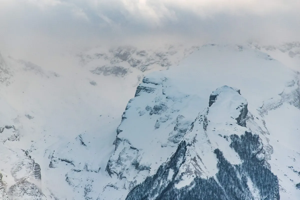
Clouds are often the first place you see the forecast break down. A general forecast might say “cloudy” or “clear,” but mountains make their own cloud. Air forced up a slope cools, condenses, and forms cap clouds, fog banks, and lenticular clouds. Cumulus can build over one ridge by mid-morning while the next valley stays blue. Fog can fill a basin and leave the summit in sun, or the reverse.
Cloud signs to watch
- Is the summit disappearing into a cap cloud? Expect wind and colder air up high.
- Are cumulus tops growing tall and fast? Convection is getting organised; afternoon could bring snow showers or thunder.
- Is there a smooth, lens-shaped cloud over the ridge? Wind aloft is strong, even if the valley is calm.
- Is the cloud base lowering toward your route? Visibility and precipitation may change sooner than the hourly forecast suggests.
None of these signs is a guarantee. They are evidence. Combined with the forecast, they tell you whether the day is behaving as expected or starting to write its own script.
Elevation and Aspect Rewrite the Numbers
Elevation changes temperature, precipitation type, and wind exposure. As a rough guide, air cools by about 6.5°C per 1,000 metres of ascent, though the actual rate varies with the air mass. That is enough to turn rain into snow, or wet snow into dry snow, within a short climb. The freezing level in a forecast is a line, but in the mountains it is a zone that moves with aspect, sun, and wind.
Aspect matters just as much. A south-facing slope can soften and slide while a north-facing slope stays cold and firm. A windward slope may be scoured to ice; a lee slope may hold deep, unstable snow. In winter, a valley can sit in cold air while the summit is warmer—a temperature inversion that makes the forecast’s “valley temperature” misleading. This is why two people on the same mountain can report different conditions and both be right. They are on different aspects, at different elevations, in different wind.
The Day Has Its Own Weather Clock
Mountains also run on a daily clock. The sun heats slopes and snow at different rates, setting up valley breezes, upslope winds, and afternoon cloud build-up. A forecast for “snow showers in the afternoon” can mean a clear morning, a cloudy noon, and a sudden change by 14:00 on one ridge—while a neighbouring valley stays quiet. Inversions often break down during the day; fog can lift or pour over a col. Snow can start as light flurries and become a sustained shower as a cloud sits on a slope.
This is why timing matters more than a daily summary. If you are crossing a high col, you want to know what the wind and cloud are doing at that hour, not what the day averaged. Build a schedule with buffers. Start earlier than the forecast’s “best” window if the route is exposed. Give yourself a turnaround time based on conditions, not ego. If the mountain is already telling you the forecast is off, believe the mountain.
A Practical Routine for Shifting Weather
The best response to mountain weather is not a better guess. It is a routine that keeps you checking the local evidence.
- Pick the forecast for the elevation and aspect you will actually travel, not the town below.
- Check wind at ridge level, then watch for local acceleration at cols and summits.
- Compare the sky with the forecast. If clouds or spindrift disagree, adjust.
- Set a turnaround time and a weather trigger before you leave—wind, visibility, or snowpack signs.
- Carry layers, navigation, and a headlamp for the day you did not plan.
- Ask yourself: if the weather changes one hour earlier, is my route still a good idea?
A mountain forecast is a starting point, not a promise. The best winter travellers treat it as a hypothesis and let the terrain, wind, clouds, and elevation correct it in real time. That is how you stay warm, find the good snow, and come back to check the forecast again.
Photo: Oimheidi / Pixabay